We support agricultural and plantation development with integrated technical, environmental, and social assessments.
Environmental & Regulatory Compliance
- Consultancy for Environmental Impact Assessment (AMDAL)
- Preparation of UKL–UPL documentation
- Environmental permitting and regulatory compliance advisory
We ensure that development plans align with national environmental regulations and sustainability requirements.
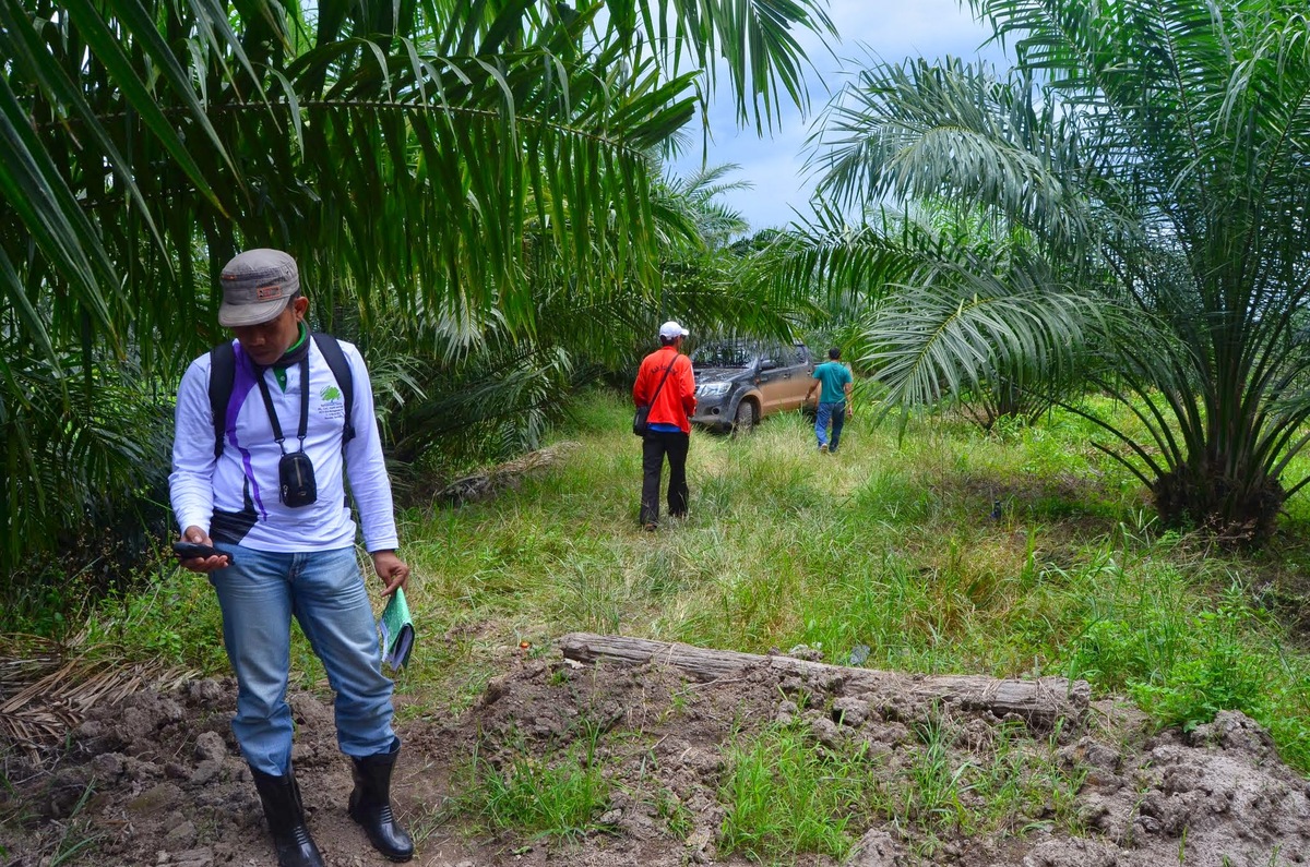
Feasibility & Land Suitability
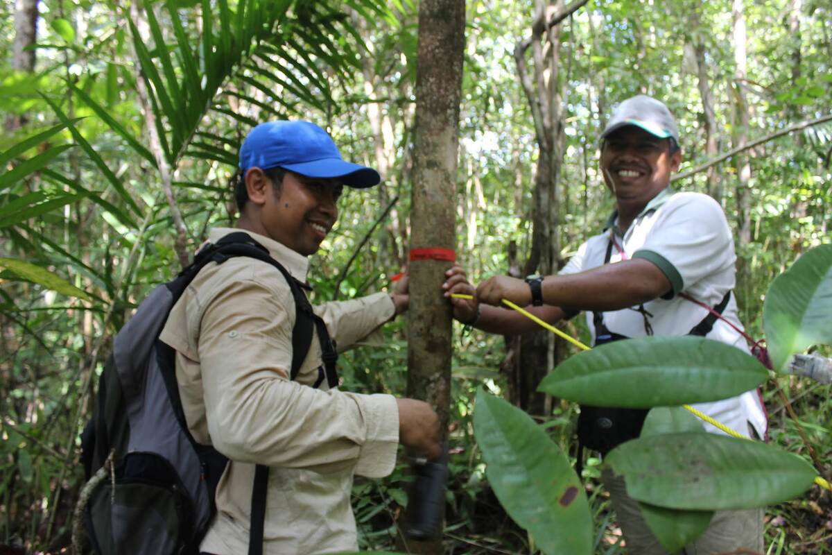
- Feasibility studies for agriculture and plantation development
- Soil survey and land suitability analysis
- Agro-ecological assessment
Our technical evaluation supports informed investment and sustainable land-use planning.
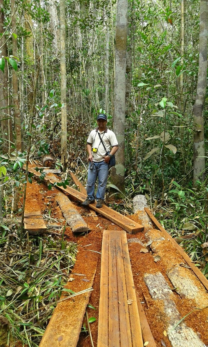
Sustainability & Certification Support
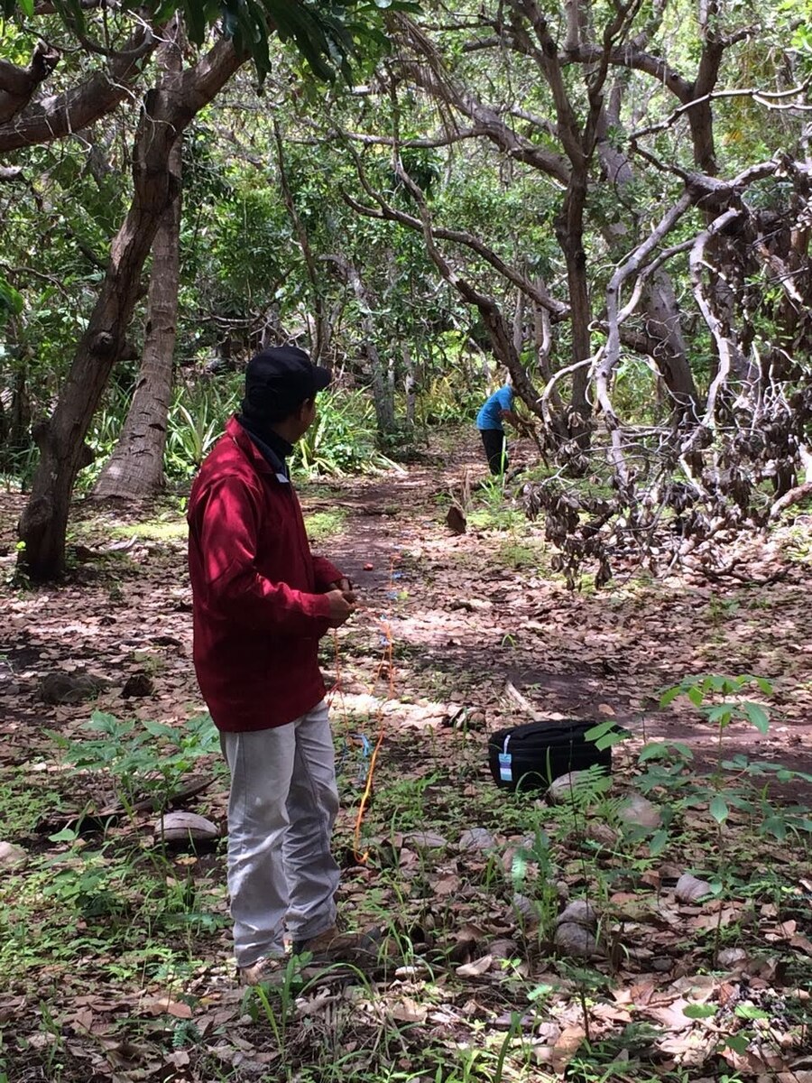
- High Conservation Value (HCV) Assessment
- High Carbon Stock (HCS) Assessment
- Facilitation of palm oil certification (RSPO, ISPO, ISCC)
- Gap analysis for RSPO, ISPO, and ISCC compliance
We help companies identify risks, close compliance gaps, and prepare for certification audits through structured technical guidance.
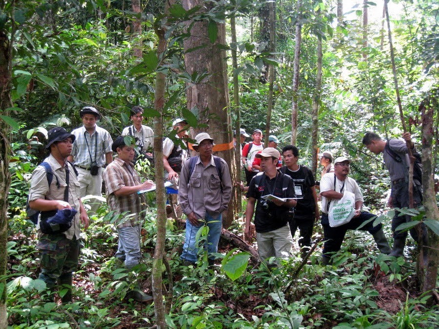
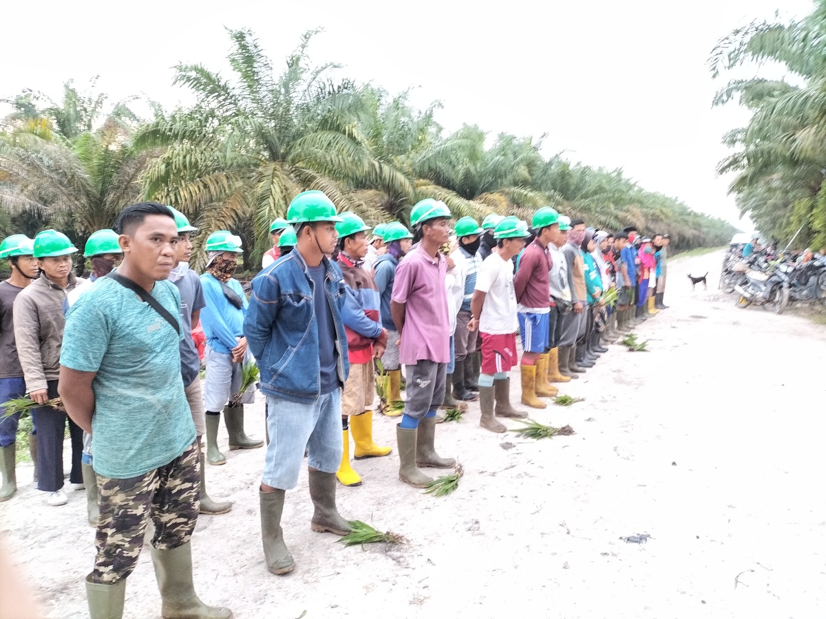
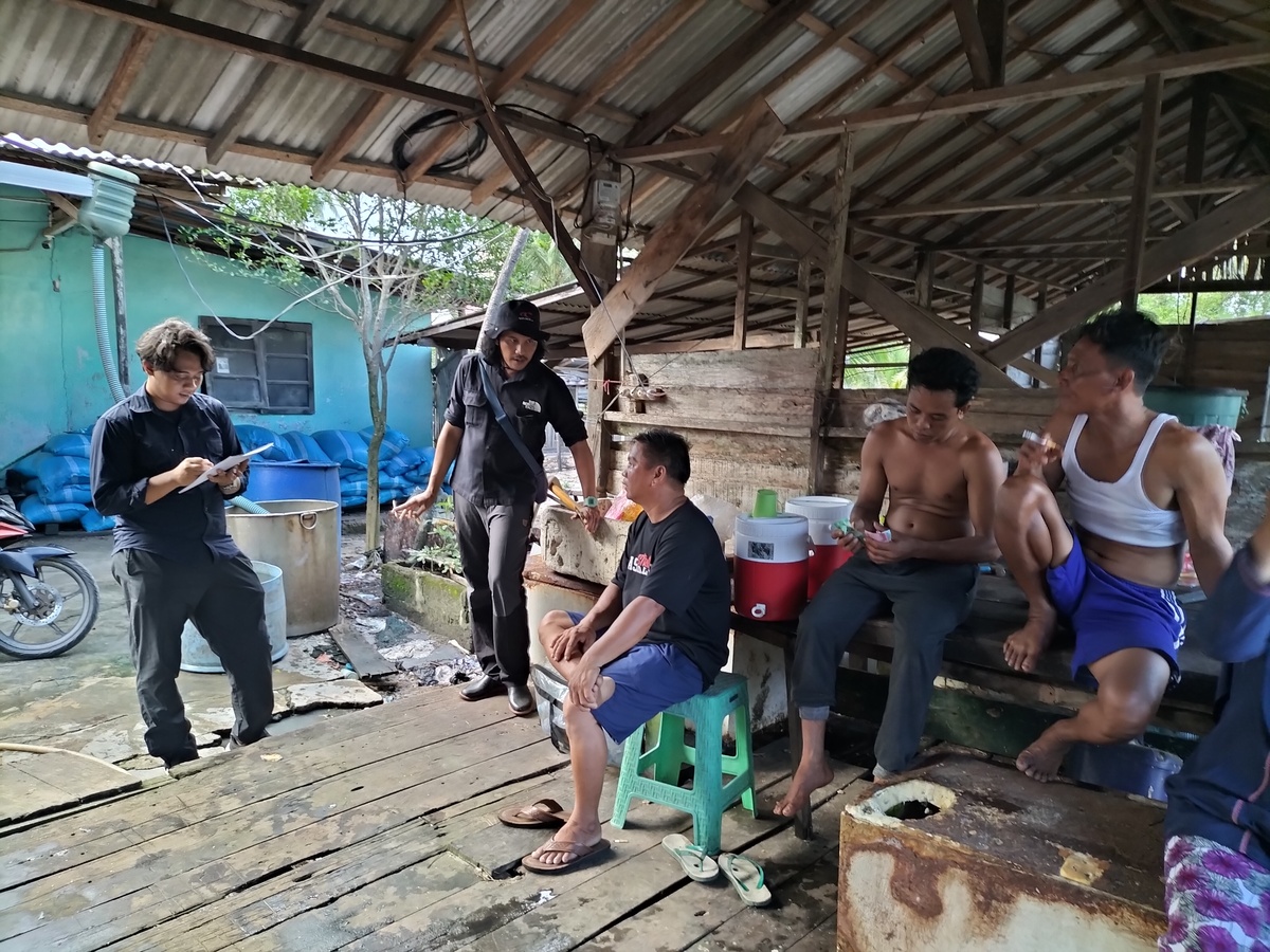
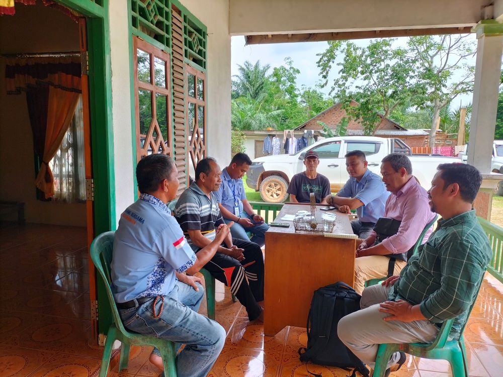
Social & Community Assessment
- Social, economic, and cultural surveys
- Stakeholder mapping and engagement support
- Community baseline assessment
Our assessments ensure that development activities consider local livelihoods and social sustainability.
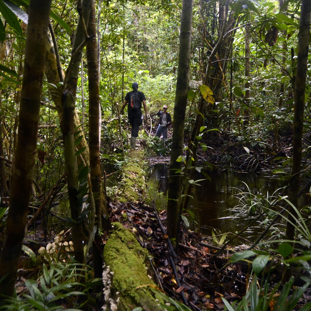
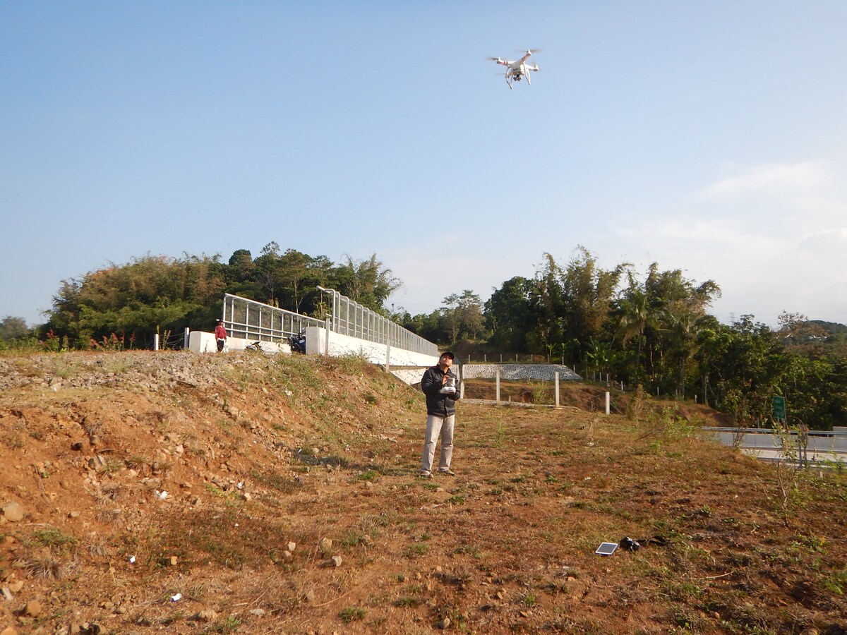
Agriculture Commodity Mapping & Survey
- Plantation mapping using GIS and remote sensing
- Commodity distribution analysis
- Field-based verification surveys
- Spatial monitoring and reporting
We combine geospatial intelligence with field data to provide accurate and reliable commodity mapping.