Our Key Projects

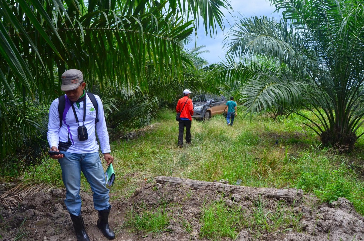
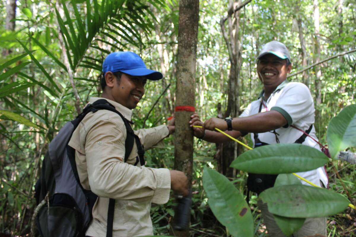
Agricultural Commodity Mapping
Utilizing advanced GIS techniques to identify and map agricultural commodities, enhancing decision-making in land use and farming practices.
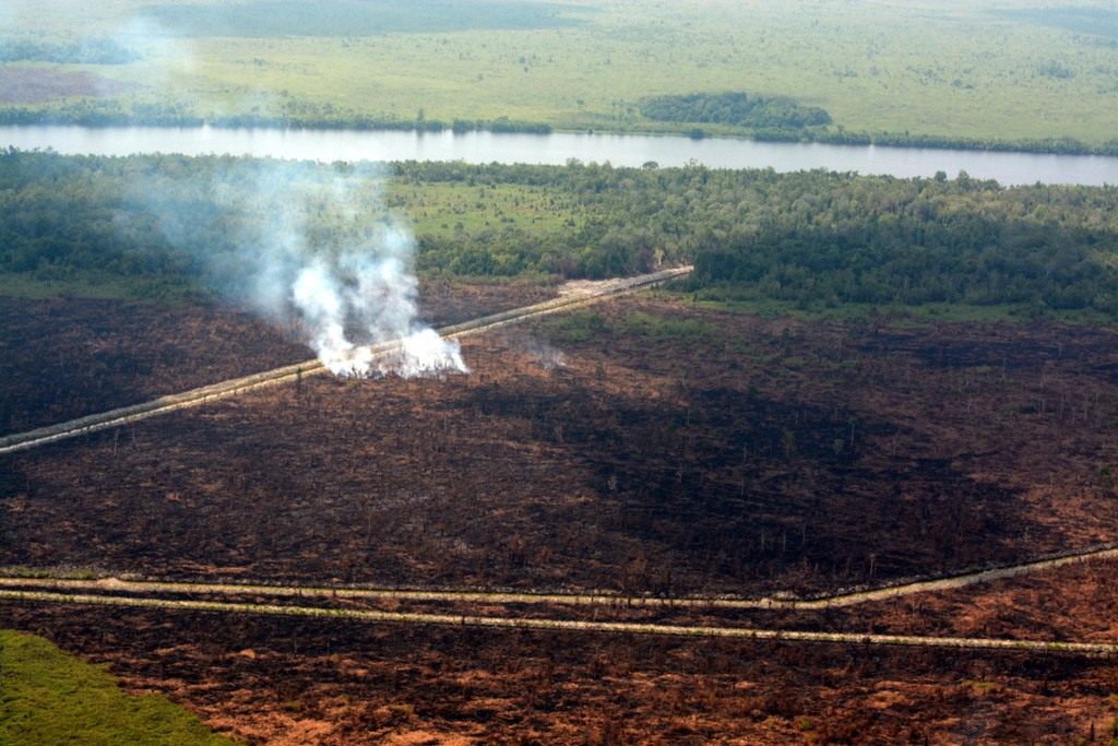
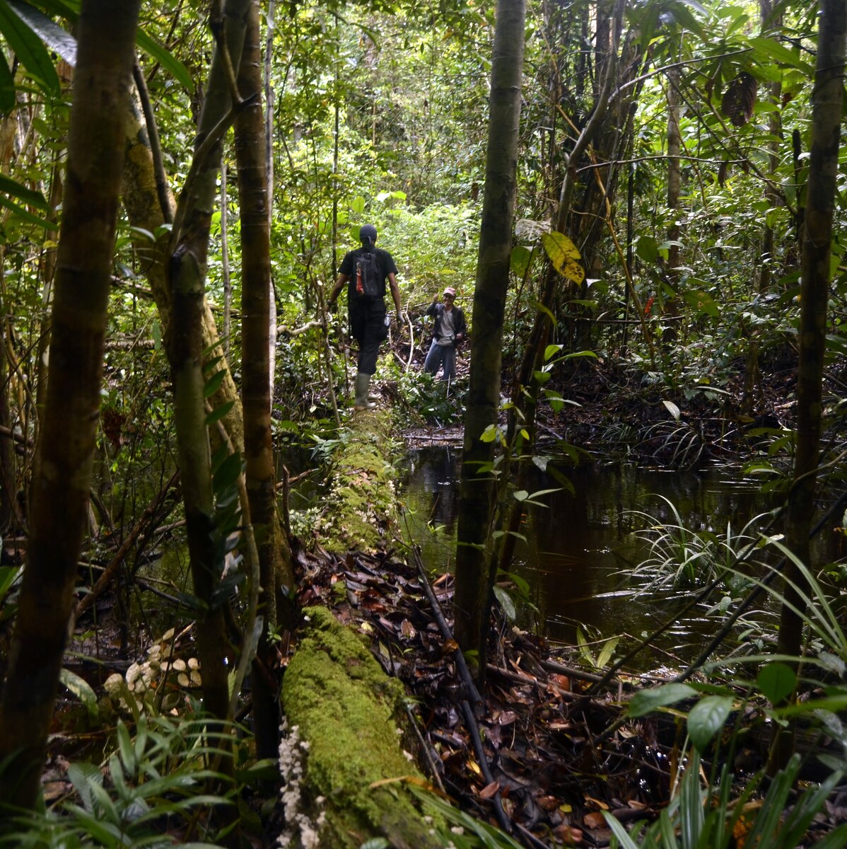
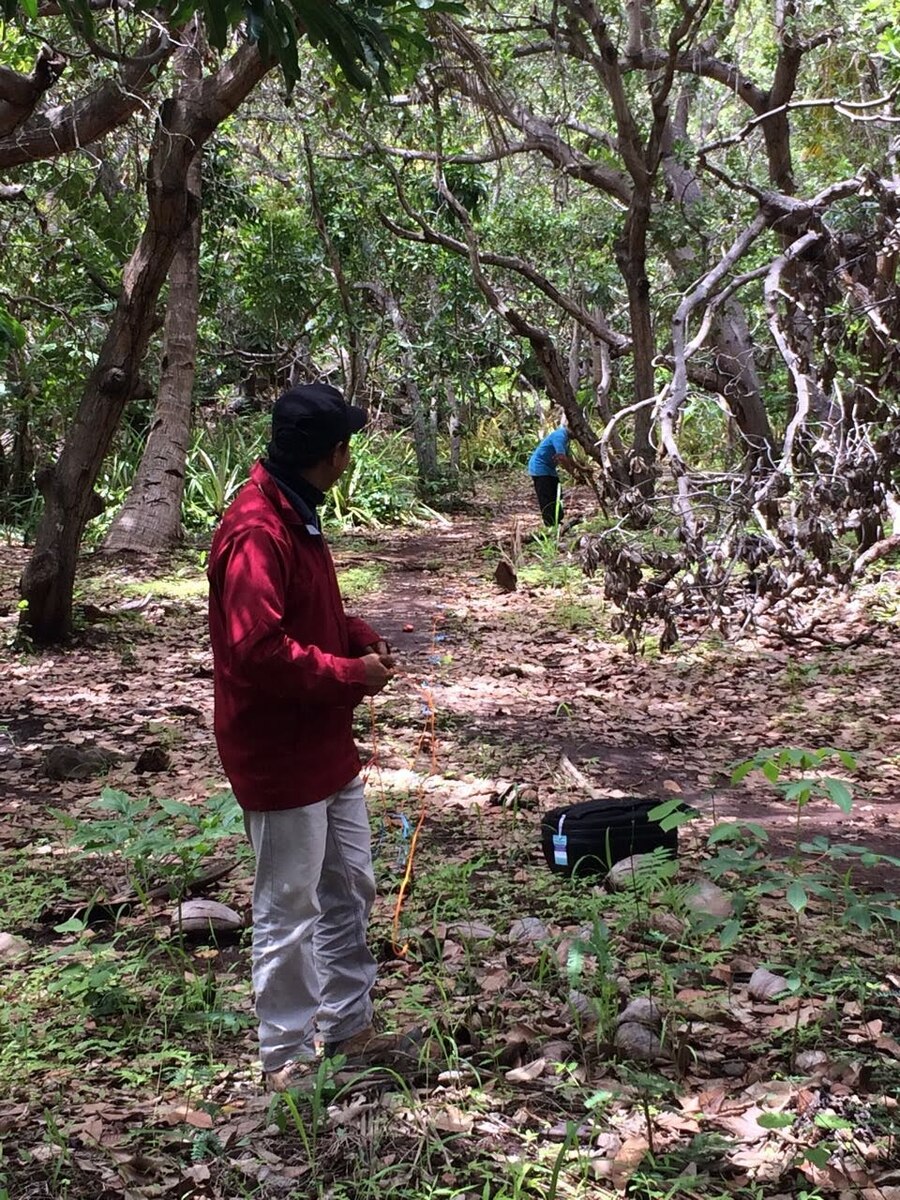
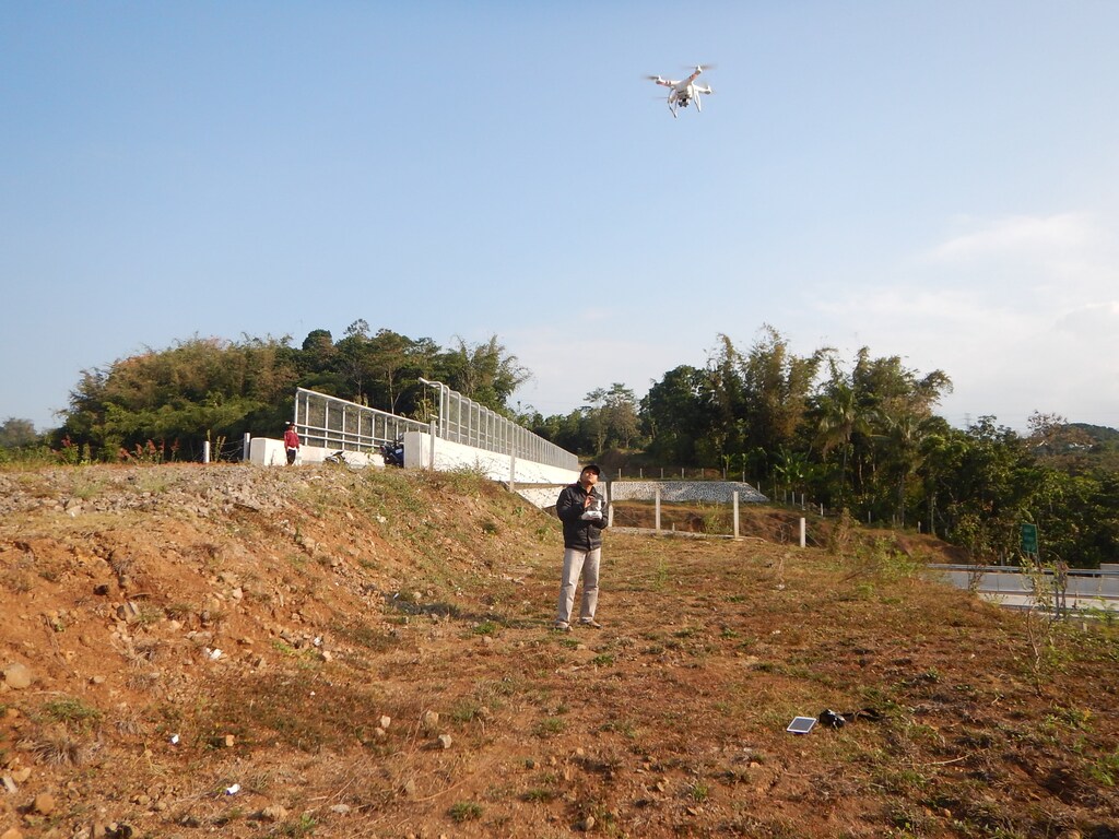
Natural Disturbance Monitoring Systems
Implementing real-time monitoring systems to track natural disturbance, ensuring compliance with environmental standards and promoting sustainability.
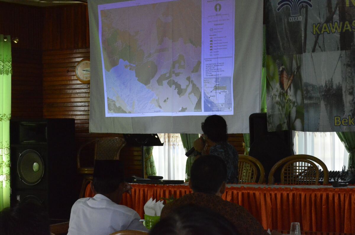
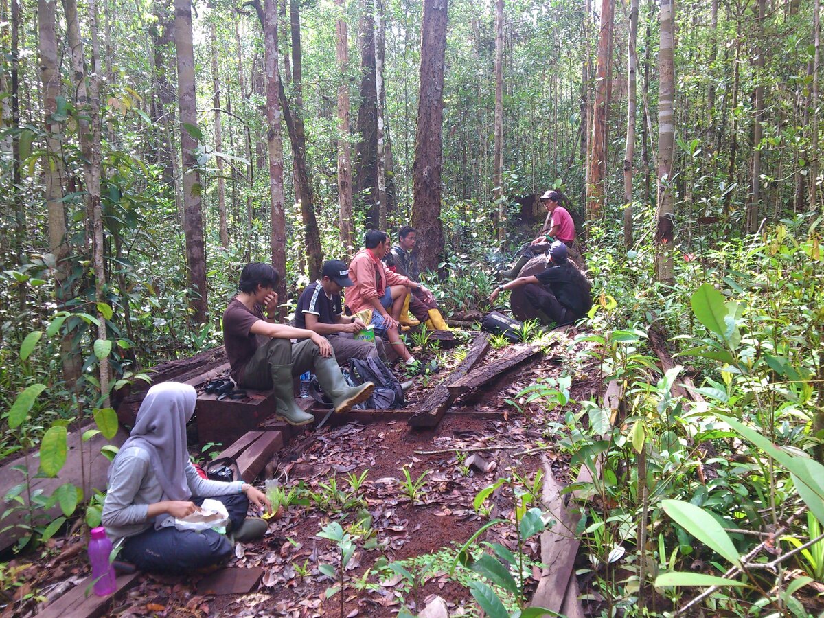
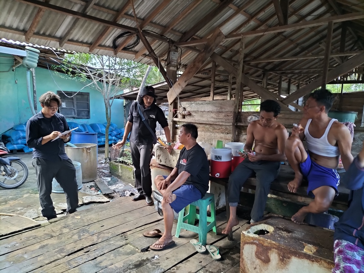
Environmental and Social Impact Studies
Conducting comprehensive assessments to evaluate the ecological and social consequences of various projects and initiatives.
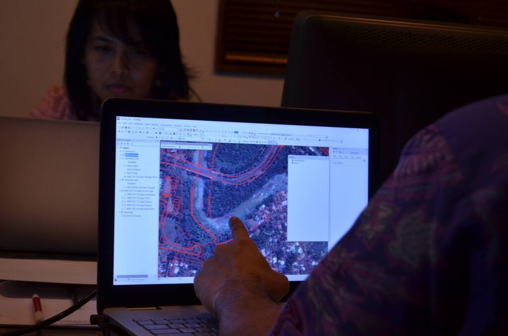
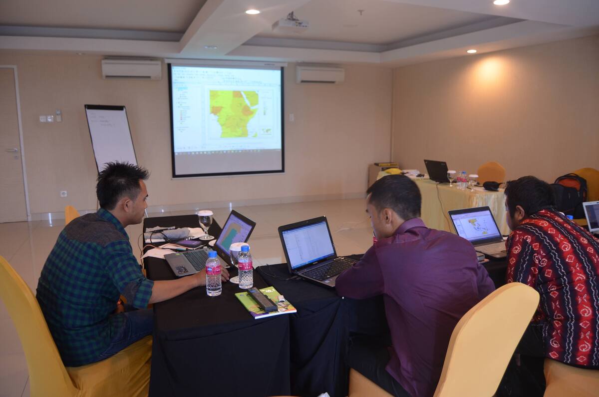
GIS Database Development
Creating robust GIS databases that store and manage spatial data for efficient access and utilization.
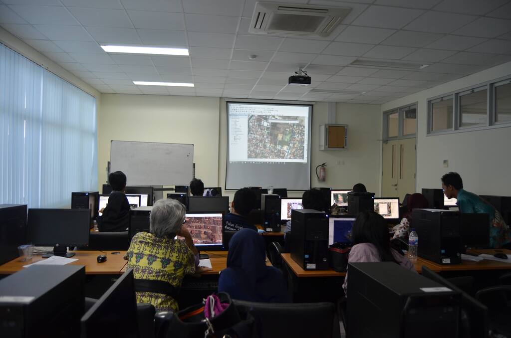
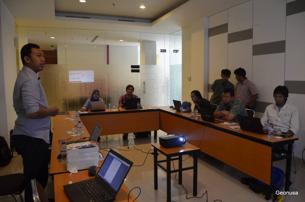
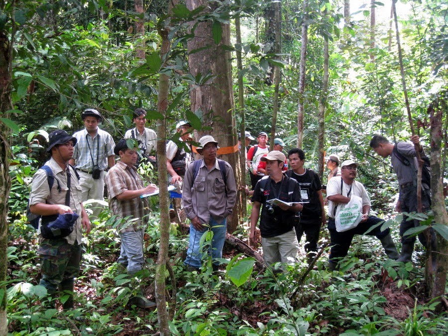
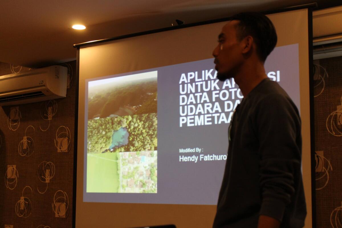
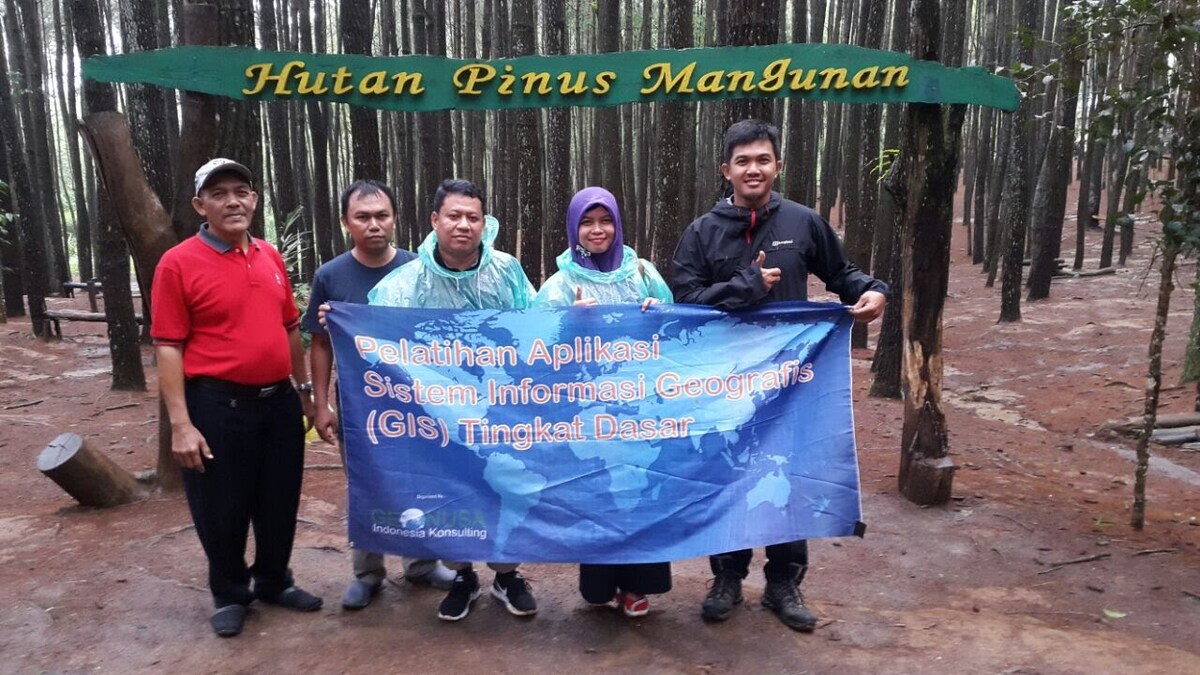
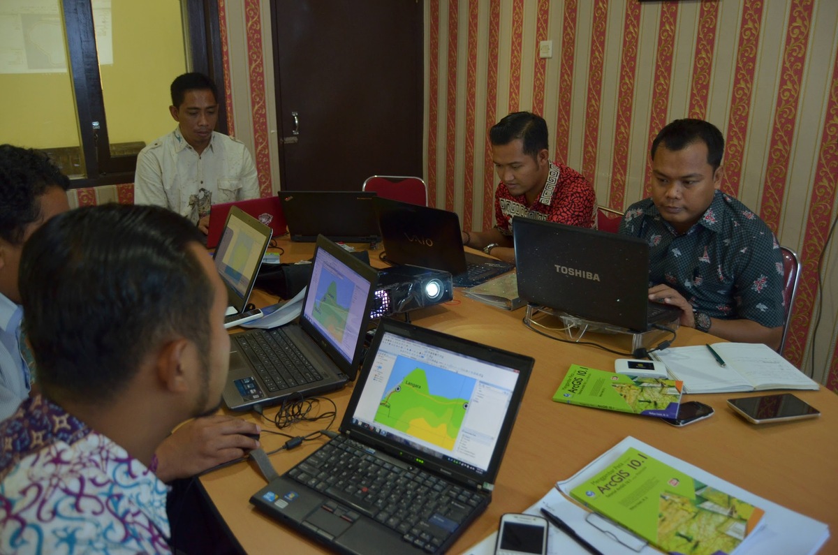
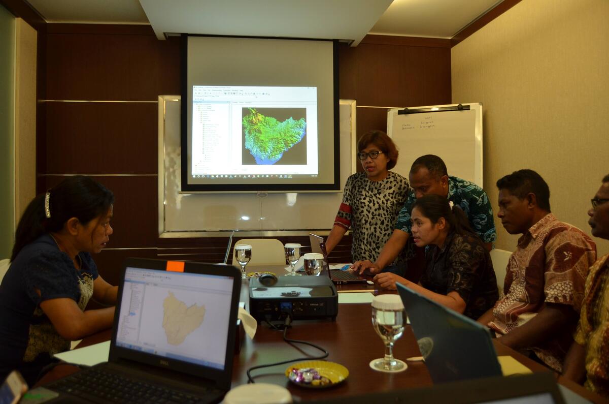
Training Workshops
Providing specialized training programs aimed at building competence in GIS and remote sensing among stakeholders.
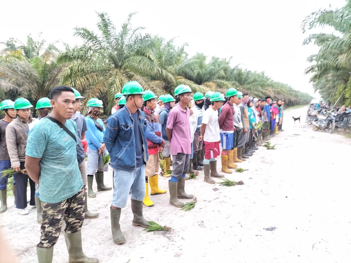
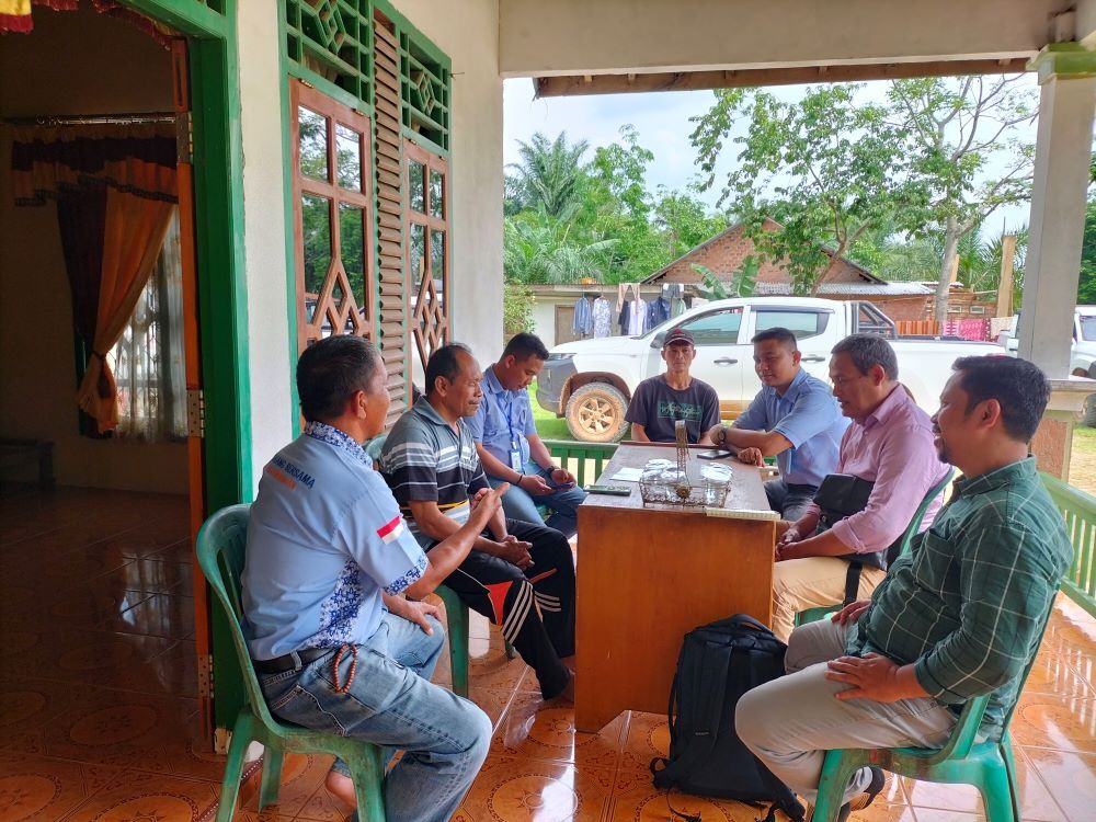
Capacity Building Programs
Empowering local communities with knowledge and tools to sustainably manage their resources.