
Geospatial Training

Geonusa offers a comprehensive training pathway that supports participants at every stage of their GIS journey. Starting from essential spatial concepts to advanced analytical workflows, our programs emphasize technical rigor, data accuracy, and analytical thinking. Participants gain practical experience in geospatial processing, modeling, and decision-support systems that are widely applied in environmental monitoring, agriculture, conservation, and land governance. We prepare professionals to move beyond mapping and into strategic spatial analysis.

Program

Basic Training

Geonusa provides practical and comprehensive GIS Basic Training designed for beginners, students, government staff, NGOs, and corporate professionals who want to build strong foundational skills in Geographic Information Systems.


Our training combines theory, hands-on exercises, and real-world case studies to ensure participants not only understand GIS concepts but can also apply them confidently in their daily work.


What Participants Will Learn


  • Introduction to Geographic Information Systems
  • Spatial data types and formats
  • Coordinate systems and map projections
  • Data input, editing, and management
  • Basic spatial analysis techniques
  • Map layout and cartographic design
  • Introduction to remote sensing integration


Participants will work directly with GIS software such as QGIS and/or ArcGIS, guided step-by-step by experienced instructors.


Training Approach


✔ Practical, hands-on learning
✔ Real datasets and applied exercises
✔ Step-by-step guidance
✔ Interactive discussion sessions
✔ Post-training support


Our goal is to ensure that each participant leaves the training with practical skills that can immediately be applied to environmental management, agriculture, urban planning, conservation, and other spatial-related fields.


Who Should Join


  • Government agencies
  • University students and researchers
  • NGOs and development organizations
  • Private sector professionals
  • Anyone starting their GIS journey

Advance Training

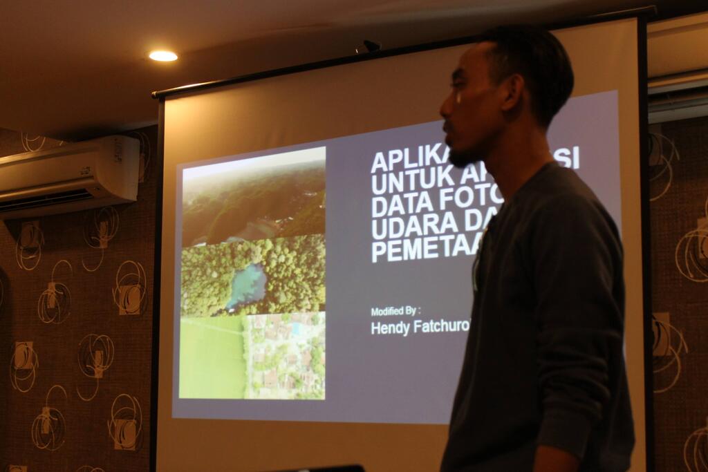
Geonusa’s Advanced GIS Training is designed for professionals who already understand GIS fundamentals and want to deepen their expertise in spatial analysis, modeling, and decision-support systems.


This program goes beyond basic mapping. It focuses on analytical capability, problem-solving, and advanced spatial workflows used in environmental monitoring, agriculture, land governance, and sustainability assessment.


What You Will Master


Participants will develop advanced skills in:


  • Advanced spatial analysis and geoprocessing
  • Raster analysis and spatial modeling
  • Multi-criteria decision analysis (MCDA)
  • Land suitability and risk assessment modeling
  • Change detection and time-series analysis
  • Spatial statistics and hotspot analysis
  • Automation using GIS tools and model builders
  • Integration of remote sensing and field data


The training emphasizes analytical thinking, not just technical operations.


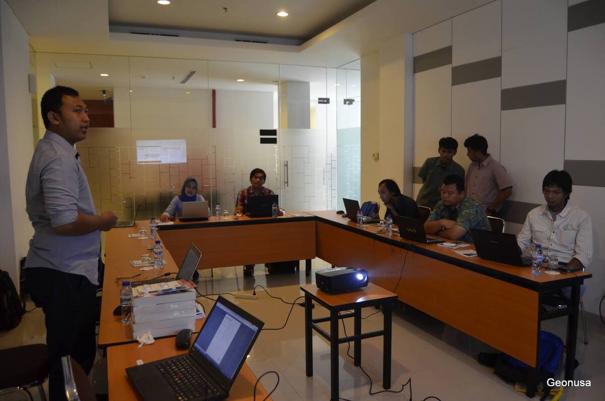
Applied Learning Approach


✔ Real project case studies
✔ Problem-based learning
✔ Advanced workflow design
✔ Data-driven decision scenarios
✔ Interactive technical discussion


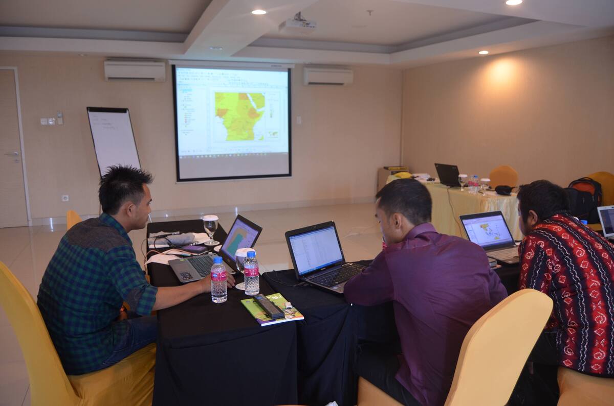
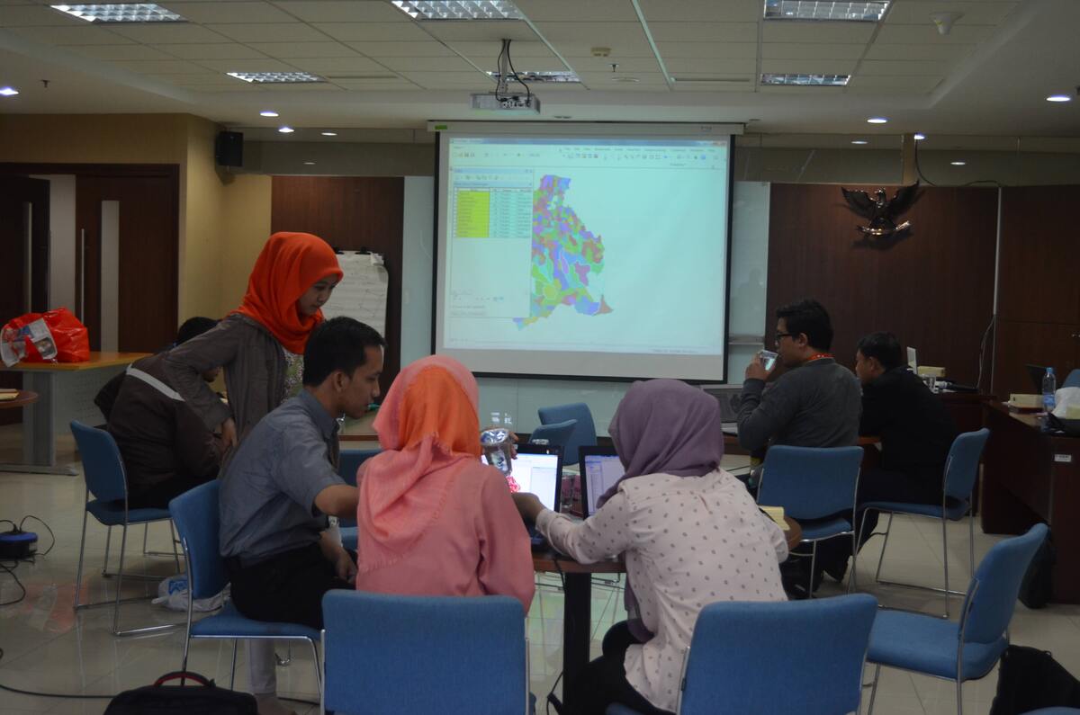
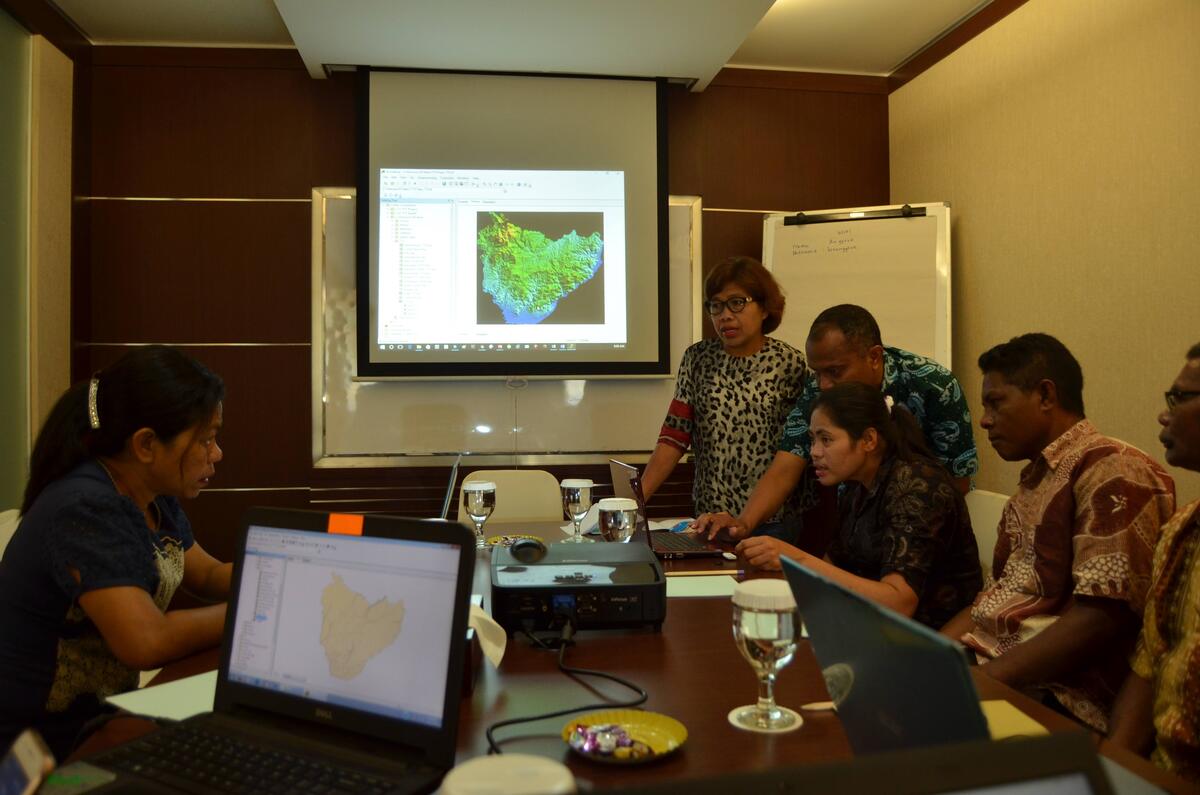
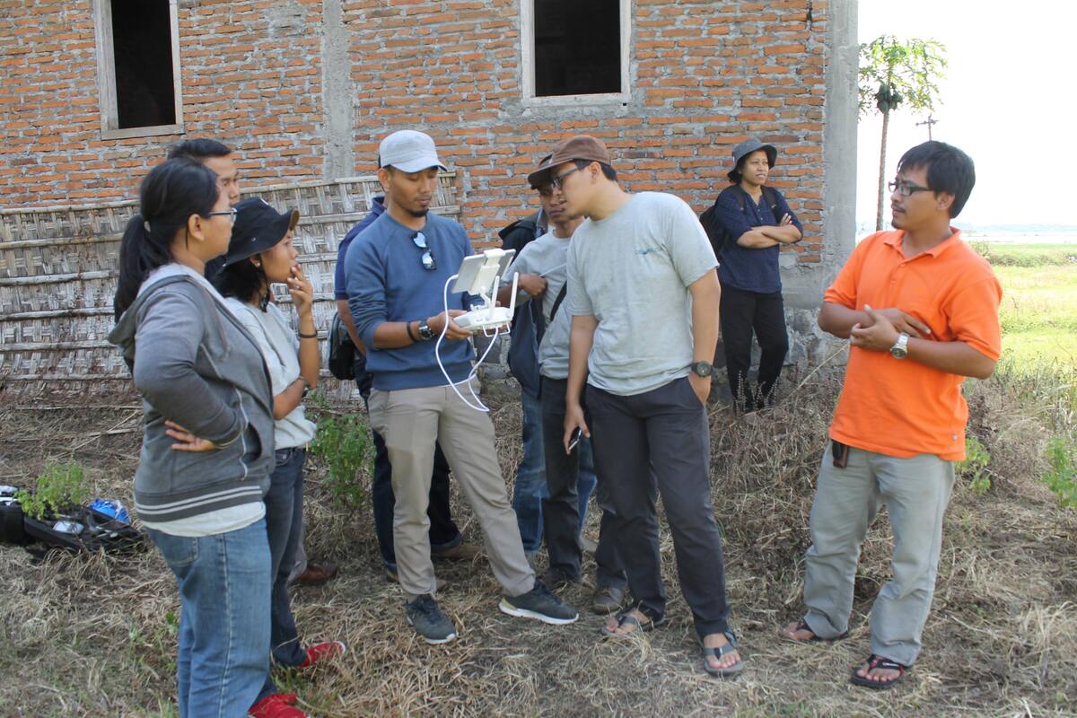
Participants will work with real datasets from environmental, agricultural, and landscape management contexts to simulate real-world decision-making situations.


Target Participants


  • GIS professionals and analysts
  • Environmental and sustainability specialists
  • Government technical staff
  • Researchers and postgraduate students
  • Corporate teams working in spatial compliance and monitoring


Training Outcomes


After completing the training, participants will be able to:

  • Design advanced spatial workflows independently
  • Build spatial models for environmental and land-use assessment
  • Interpret satellite data for monitoring and reporting
  • Support policy, compliance, and sustainability decisions using spatial evidence

Registration: info@geonusa.org